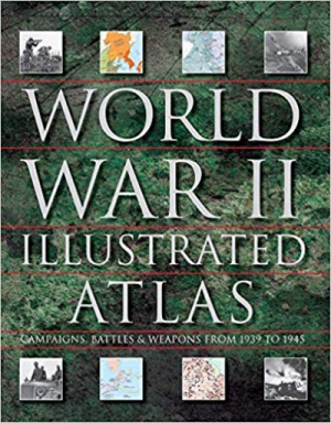
World War II Illustrated Atlas: Campaigns, Battles & Weapons From 1939 to 1945
- Автор:
- by David Jordan (Author), Andrew Wiest (Author)
- Видавництво:
- Amber Books
- Категорія:
- Світова історія
- Мова:
- англійська
- Обкладинка:
- тверда
- ISBN:
- 9781782747369
- Рік видання:
- 2019
- Кількість сторінок:
- 256
- Наявність:
- Очікується
750.00 грн.
Про книгу
From two military experts comes an outstanding and comprehensive one-volume visual guide to the complex conflict that was the Second World War.
Covering every major battle, from the invasion of Poland in 1939 to the defeat of Japan in 1945,World War II Illustrated Atlas plots the exact course of the land, sea, and air campaigns in fine detail. It examines the land operations in Northwest Europe, Italy, North Africa, Russia, Southeast Asia, and the Pacific; the naval war in the Atlantic and Mediterranean; the great carrier battles in the Pacific; and the strategic bombing campaigns of Europe and the Pacific, culminating in the destruction of Hiroshima and Nagasaki. This edition offers an additional 25 maps, ranging from the St. Nazaire raid of 1942 to the battle for Corregidor in February 1945. The isometric map views provide a new perspective on the war, and include descriptions and photographs from each event.


